News
Vostok Oil Loads First Tanker: Verifying Rosneft's Arctic Terminal With Satellites
After four trillion rubles in spending and years of missed targets, Rosneft filled its first crude carrier at Bukhta Sever. Satellite observation reveals how long vessels actually sit at the berth.
Four trillion rubles for one loaded tanker
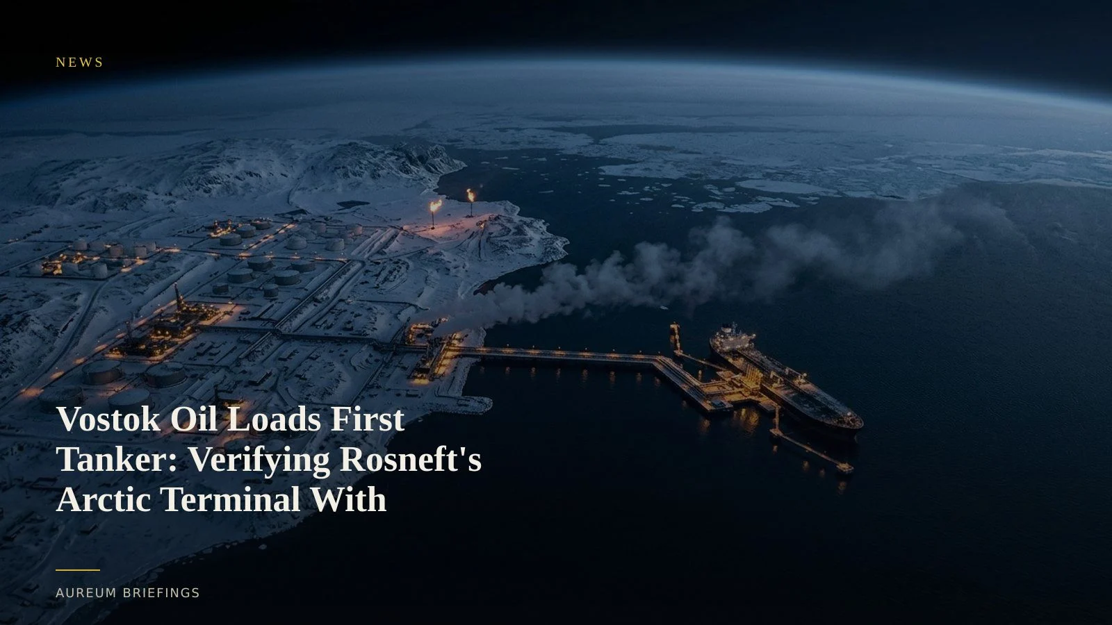
Rosneft has finally loaded its first export cargo from the flagship Vostok Oil mega-project on Russia's Taymyr Peninsula. According to market reports on Vostok Oil logistics, the Arc7 ice-class tanker Valentin Pikul spent 84 days moored at Bukhta Sever's single operational loading berth before departing along the Northern Sea Route toward China.
A sister ship, the Akademik Gubkin, is currently staged in the Yenisey Gulf behind it. While state announcements trumpet a milestone for Arctic energy corridors, the 84-day turnaround highlights severe logistical bottlenecks at the marine terminal.
For commodity traders evaluating global oil balances alongside official EIA weekly crude benchmarks, verifying physical loading cadence at remote terminals is essential before pricing in projected export volumes.
Geopolitical infrastructure and remote supply chains
The slow ramp-up at Bukhta Sever mirrors broader global friction around critical energy and technological infrastructure. Strategic power rivalries shape how capital flows into heavy industry, whether in Eurasian energy corridors or technology partnerships highlighted by Atlantic Council research on geopolitical soft power.
When official narratives clash with ground conditions, relying solely on press releases leaves market participants exposed. Physical assets leave clear signatures in orbit, allowing independent observers to separate capital deployment from operational output.
How satellite observation confirms Arctic loading activity
Monitoring remote infrastructure like Bukhta Sever requires combining optical imagery with synthetic aperture radar. While heavy ice and polar dark obscure visible imagery for months, radar passes from ESA Copernicus Sentinel-1 constellations penetrate cloud cover to track hull signatures at quay walls.
By measuring metallic radar returns against known berth locations, analysts can pinpoint exact arrival and departure timestamps. Optical imagery during ice-free windows further assesses tank farm progress, pipeline terminal tie-ins, and flaring activity at upstream field gathering hubs.
Institutional desks historically paid six-figure sums for custom remote sensing feeds to verify these remote assets. Independent investors without a dedicated geospatial team can now verify the same physical ground truth through targeted queries.
What Arctic crude timing means for commodity traders
If Rosneft requires nearly three months to fill a single vessel due to incomplete storage tanks or uncommissioned pumping stations, projected annual output targets for Vostok Oil will remain far below guidance.
Instead of relying on corporate announcements, traders can watch whether the second tanker completes its loading loop in days or weeks. Tracking physical ground changes reveals market shifts well before quarterly reporting cycles.
Verify physical supply chains from space
Private beta is open. Ask Earth a question, or follow hand-built Track boards on major ports and energy corridors.