News
Jet Fuel Shortages Hit Airlines: Satellite Tracking Airport Storage
As prolonged Persian Gulf disruptions and drone risks squeeze aviation fuel supplies, satellite imagery provides physical verification of refinery output and airport storage tanks before monthly prints.
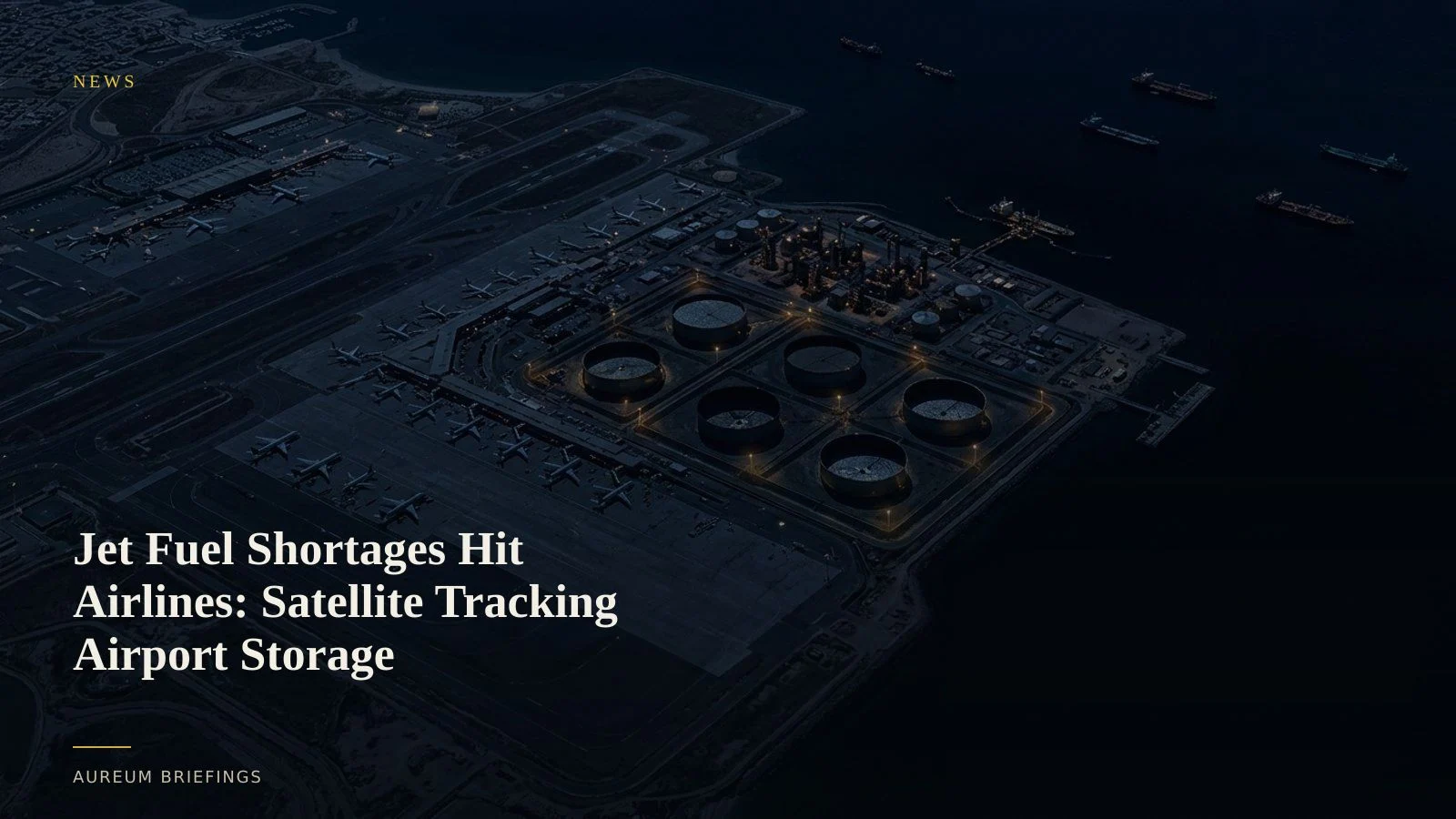
Aviation fuel scrambles as prolonged chokepoint stress bites
Major global airlines are scrambling for aviation fuel supplies as months of Middle East maritime disruptions cascade through refined product markets. While crude markets initially absorbed headline risk, Middle Eastern export refineries represent a vital hub for jet fuel and middle distillates bound for European and Asian aviation hubs.
At the same time, recent analysis of drone operational impacts highlights how uncrewed aerial systems continue to threaten critical energy and refining infrastructure globally. For commodity traders and airline fuel procurement teams, paper contracts and delayed government inventory figures are no longer sufficient to gauge actual physical availability.
Verifying airport fuel farms and refinery tank levels
Traditional inventory tracking relies on weekly customs data and voluntary industry reporting that often arrives weeks after physical supplies shift. Optical and radar satellite observation bypasses this delay by directly measuring storage tank levels at major refining complexes and regional airport fuel farms.
By analysing floating-roof tank shadows and thermal activity across primary distillation units, satellite-backed observation verifies whether refineries are maintaining throughput or cutting runs due to crude feedstock constraints. When coverage lands, traders can see which hubs hold buffer inventory and which face immediate drawdown risks.
Reading distillate trade flows from orbit
Refined products like jet fuel and diesel move through complex multi-stage supply chains. When primary export corridors stall, product tankers are redirected or held in floating storage, creating local gluts in exporting regions and severe inventory drawdowns at destination ports.
While large institutional commodity platforms provide proprietary analytics to energy desks, individual investors and independent traders often fall back on free tools that present static imagery without structured analysis. Combining satellite radar vessel detection with floating-roof tank height measurements yields a clear picture of physical supply tightness before official monthly prints publish.
Building a satellite-backed fuel monitoring process
To navigate prolonged fuel squeezes, traders use a straightforward decision workflow: verify physical inventory changes at key regional hubs using Query, then follow Track boards on named energy corridors when new coverage lands.
When news of refining bottlenecks or transit delays breaks, comparing current satellite frames against baseline historical imagery reveals whether physical tightness is spreading or remains local. This evidence-based approach helps market participants react to verified supply shifts rather than speculative headline momentum.
Verify physical commodity flows with satellite intelligence
Join the private beta to ask plain-English questions about global fuel storage, refining assets, and maritime trade lanes.