News
Gulf of Oman Tanker Strike: Verifying Physical Impact From Space
Unverified social media footage shows a commercial vessel ablaze off the coast of Oman following an August 10 attack. Here is how satellite thermal sensors and SAR radar separate market rumours from physical energy flow disruptions.
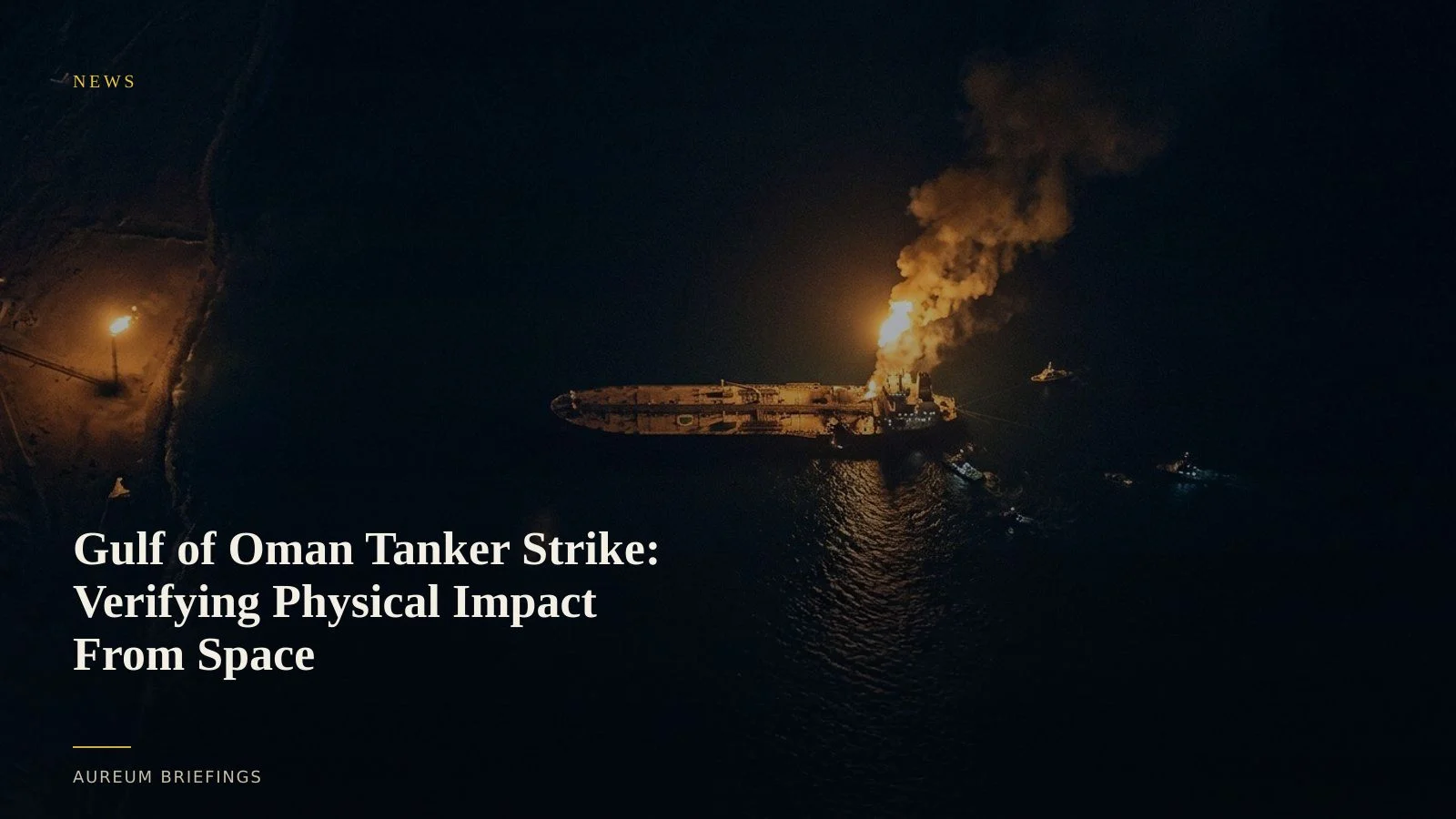
Unverified video spikes crude futures off Oman
Fresh tension swept energy markets on 10 August 2026 following reports of another tanker strike off Oman, with unverified social media video showing a commercial vessel on fire in the Gulf of Oman. The report follows an earlier confirmed strike on an Emirati tanker on 8 August.
When headlines report maritime attacks, crude futures and regional freight rates immediately react to geopolitical risk. However, video clips circulating online often lack verified timestamps or geographic coordinates, leaving commodity traders vulnerable to old footage or false alarms.
To evaluate whether a vessel is actively burning, stranded, or under tow, traders require physical verification rather than waiting hours for diplomatic press releases.
Thermal anomaly detection and radar hull verification
When a marine vessel catches fire, orbital sensors detect the incident long before official casualty reports print. Analysts use thermal satellite anomaly detection to identify intense heat signatures over maritime coordinates, even through light cloud cover.
To confirm hull location when transponders go dark, Synthetic Aperture Radar (SAR) cuts through smoke and dense overcast. While large institutions buy enterprise SAR feeds from commercial satellite operators, individual traders can cross-reference physical radar targets against public maritime AIS transponder tracking.
If an AIS signal vanishes during a security event, SAR imagery provides the definitive physical check on whether the tanker remains stationary, takes on ballast, or moves toward Fujairah anchorage.
Separating anchorage congestion from systemic blockades
Following a regional attack, insurance underwriters frequently increase war-risk premiums, prompting vessel operators to hold position near Fujairah. This creates localized anchorage congestion that uncalibrated observers easily mistake for a complete chokepoint closure.
Satellite-backed analysis measures total vessel volume and movement trends across designated transit lanes rather than relying on isolated snapshots.
Comparing current transits against historic baselines allows market participants to determine whether crude exports are genuinely choked or merely delayed while security protocols update.
Direct satellite evidence without institutional overhead
Hedge funds spend substantial sums on dedicated remote-sensing teams to monitor maritime security events. Most DIY traders are left choosing between delayed news wires or raw, unverified social media claims.
Aureum brings satellite-backed clarity directly into your decision process. With Query, you can submit plain-English questions about specific coastal facilities or vessel locations and inspect the physical ground evidence.
For ongoing security risks across critical trade routes, Track delivers curated KPI boards monitoring vessel density, port congestion, and physical energy infrastructure.
Verify physical market moves with satellite intelligence
Join the private beta to track maritime chokepoints, energy inventories, and industrial facilities.