News
Grounded Shadow Fleet Tanker Oil Spill: Satellite Verification
A grounded shadow fleet crude carrier in the Gulf has released an oil slick that could rival major historical spills. Satellite radar reveals the true physical boundary while official responses lag.
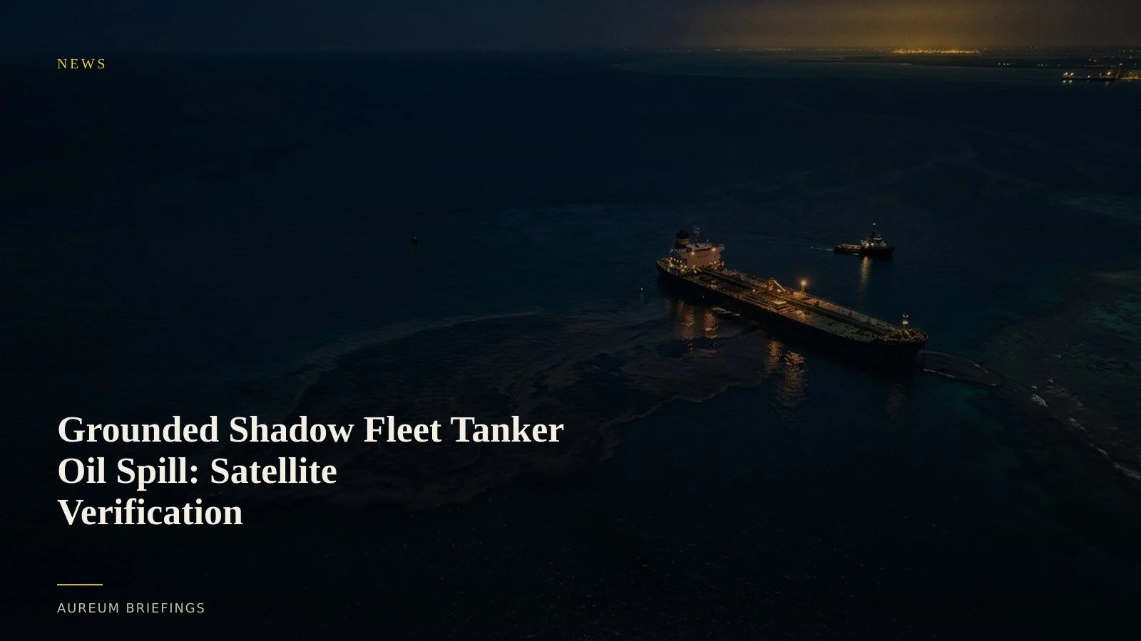
Uninsured shadow vessel grounds, slick spreads unchecked
A grounded aging crude tanker operating within the unflagged shadow fleet has caused a massive oil spill in the Gulf, according to recent maritime updates reported by gCaptain news reporting. Environmental groups and international tracking agencies indicate the slick was allowed to spread virtually unchecked for weeks.
The physical scale of the crude plume now threatens key regional shipping routes and coastal facilities. Shadow fleet vessels often lack comprehensive insurance or clear ownership, creating massive jurisdictional delays in emergency lightering and containment efforts.
For traders and market participants, the disaster is not merely an environmental event. It represents an immediate operational hazard to nearby oil terminals, offshore transfer zones, and commercial vessel anchorages.
How synthetic aperture radar reveals surface oil
Optical imagery often struggles with cloud cover and sea haze, but spaceborne synthetic aperture radar provides unambiguous evidence of marine oil slicks. Crude oil dampens capillary ocean waves, creating distinct dark patches on radar returns that stand out clearly against surrounding open water.
Open satellite platforms such as radar imagery from ESA Copernicus capture these surface texture changes regardless of daylight or cloud conditions. When paired with multi-spectral optical data from NASA Earthdata archives, analysts can delineate thick crude concentrations from thin surface sheens.
While institutional trading desks often pay six-figure sums to access dedicated high-resolution commercial SAR providers, retail investors and independent traders can verify the physical boundaries of maritime disruptions without complex enterprise contracts.
Evaluating port slowdowns and lightering halts
When a major spill expands across active maritime corridors, port authorities frequently establish temporary exclusion zones. Vessels scheduled for ship-to-ship crude transfers or offshore lightering must alter course or drop anchor until containment barriers are secured.
Satellites allow traders to track vessel backlog and operational halts before official port notices print. By monitoring anchored tanker density and moving ship vectors, you can assess whether regional export terminals face severe loading bottlenecks.
This physical verification eliminates reliance on unverified social media rumours or delayed maritime claims, offering a grounded view of physical supply chain friction.
The widening risk profile of shadow fleet operations
The Gulf grounding highlights the escalating operational risks associated with shadow fleet crude transportation. As older vessels bypass conventional maritime safety standards, mechanical failures and groundings are becoming a primary cause of unexpected physical market halts.
Traders decision-making around physical crude differentials must account for these sudden bottlenecks. Satellite observation provides a direct, non-repudiable method for monitoring dark fleet transfers and offshore anchorage accumulation.
Instead of waiting for official post-disaster reports, combining Query for single-site verification with Track for continuous observation on named corridors provides a clear window into physical trade flows.
Track physical market disruptions from space
Join the private beta to ask Query direct questions about maritime events, or follow hand-built Track KPI boards across key energy corridors.