News
China Accelerates Arctic Shipping Diversion: Satellite Radar Tracks Northern Sea Route Traffic
Escalating maritime disruption in the Red Sea is pushing Chinese container fleets into the ice-melt window of the Arctic Northern Sea Route. Here is how satellite radar verifies actual vessel transit through polar corridors.
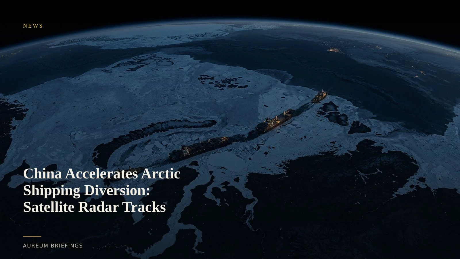
Red Sea stress drives seasonal polar transits
Ongoing security threats in the Bab el-Mandeb Strait and Middle East maritime chokepoints have forced container operators to re-evaluate traditional Asia-to-Europe trade lanes. Fresh trade analysis shows Chinese cargo carriers expanding their use of the Northern Sea Route across the Arctic Ocean.
The seasonal melting of polar ice caps opens a summer transit corridor that cuts voyage times between eastern Chinese ports and Northern Europe by up to twelve days compared with sailing around the Cape of Good Hope. While Arctic transits carry unique ice-class hull requirements and seasonal windows, sustained friction in Southern routes has transformed the Arctic option into a strategic supply chain hedge.
For commodity traders and logistics analysts, tracking whether these cargo voyages successfully complete polar transit provides an early indicator of shifts in global freight routing before official customs and port receipts print.
How synthetic aperture radar penetrates polar cloud
Monitoring high-latitude ocean corridors presents distinct challenges for visual observation. Dense cloud cover, frequent fog, and extended winter darkness obscure optical imagery over the Bering Strait and the Siberian coastline.
Spaceborne synthetic aperture radar overcomes these atmospheric conditions by transmitting microwave signals that penetrate clouds and register surface roughness. Data from open constellations like Copernicus Sentinel satellite systems allow analysts to distinguish ice floes from metallic ship hulls, verifying vessel movement across open-water leads.
While institutional trading groups pay for specialised commercial radar feeds to monitor polar channels, individual market participants often lack dedicated remote-sensing personnel to process raw SAR datasets.
Bridging dark vessel gaps in northern waters
Polar navigation frequently suffers from sparse automatic identification system coverage. Terrestrial AIS base stations are virtually non-existent along extended stretches of the Arctic coast, while satellite AIS can experience signal gaps in extreme northern latitudes.
When commercial vessels turn AIS dark or encounter limited signal coverage, reliance on positional feeds alone creates blind spots. Pairing AIS signals with overhead satellite observation provides physical verification of vessel coordinates.
Logistics research desks monitor whether commercial fleets maintain continuous passage or encounter ice blockage, combining industry maritime benchmarks alongside geospatial verification to assess container arrival schedules.
Translating satellite intelligence into decision-ready evidence
To evaluate how trade rerouting impacts global supply chains, traders need actionable evidence rather than static map tiles or delayed headline summaries. Free consumer mapping tools offer dated imagery that fails to capture active summer shipping windows.
Through Query, traders ask direct questions about facility activity, port queuing, or corridor traffic to receive satellite-backed evidence within minutes. For ongoing observation, Track delivers hand-built KPI boards across key global supply hubs and chokepoints.
Rather than relying on unverified social media claims or waiting weeks for maritime statistics, this satellite-backed workflow provides physical ground truth on how global trade flows adapt to geopolitical shocks.
Verify physical economy shifts with satellite intelligence
Access private beta. Ask plain-English questions with Query or follow hand-built Track boards on critical trade corridors.